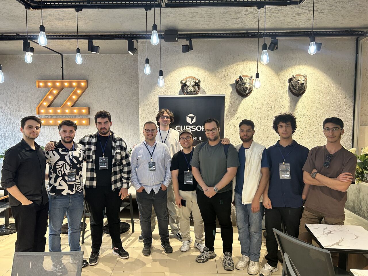
First Place at the Cursor Hackathon
Technologies Used
YOLO, Hugging Face Inference API, GO, Python
Project Type
Hackathon Winner, Computer Vision
Role
AI Engineer & Full-Stack Developer
Active Development Dates
6th June 2026
In June 2026, our team won 1st Place at the Cursor x MasterFabric AI-Driven Urban Solutions Hackathon by developing an AI-powered municipal infrastructure analysis platform. The project was designed to help municipalities automate road inspection and urban damage reporting by transforming street-level imagery into structured, actionable maintenance reports.
Traditional infrastructure monitoring often relies on manual field inspections or citizen complaints, making the process reactive and resource-intensive. We explored how existing municipal vehicles, such as garbage trucks that already drive through city streets every day, could become autonomous infrastructure monitoring platforms by simply equipping them with cameras.
Working as a team, we built a complete end-to-end MVP that automatically analyzes panoramic street imagery and detects infrastructure issues using computer vision. The system converts raw detections into geolocated maintenance reports that municipalities can prioritize and act upon through an operational dashboard.
Our detection pipeline was built around the pretrained YOLO26m model running through Hugging Face Inference. Panoramic street-view images were processed, parsed, and enriched with geographic coordinates before being transformed into structured maintenance records. The system was capable of identifying problems such as damaged traffic lights, missing or broken manhole covers, overflowing waste containers that pose public health risks, road surface defects, and other urban infrastructure issues.
Beyond object detection, we focused on creating an operational workflow rather than simply producing model predictions. The pipeline converted detections into actionable municipal tasks by aggregating observations, attaching location metadata, assigning issue categories, and visualizing results on an interactive map. This enabled infrastructure teams to prioritize maintenance based on severity and geographic distribution instead of manually reviewing large amounts of visual data.
The project was demonstrated live to the jury as a fully functional MVP. Rather than presenting a proof of concept, we showcased an end-to-end workflow from image acquisition and AI inference to geographic visualization and maintenance reporting.
For us, the most valuable aspect of the project was building a solution with tangible public impact. By leveraging AI and existing municipal vehicle fleets, we demonstrated how cities could monitor infrastructure more continuously, reduce operational costs, respond faster to safety-critical issues, and make maintenance decisions using real-time visual intelligence instead of reactive reporting.